A two-day conference entitled “Skills to Use Geographic Information System” kicked off at the Armenian State Pedagogical University on February 11.
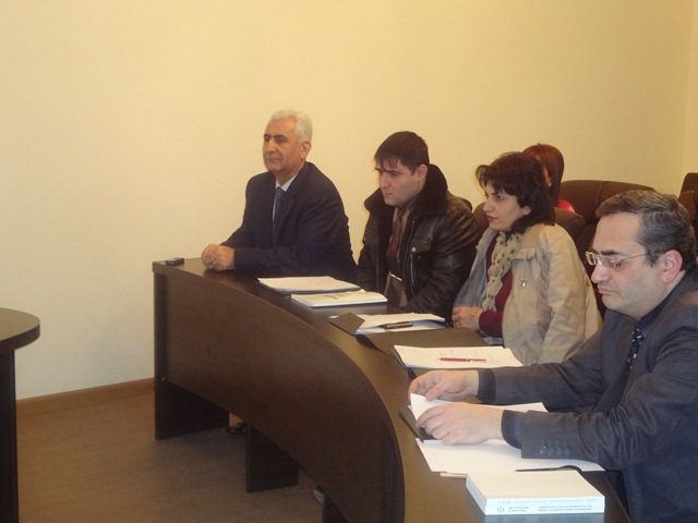
The conference was attended by school teachers, representatives of Yerevan State University, National Institute of Education and specialists of the sphere.
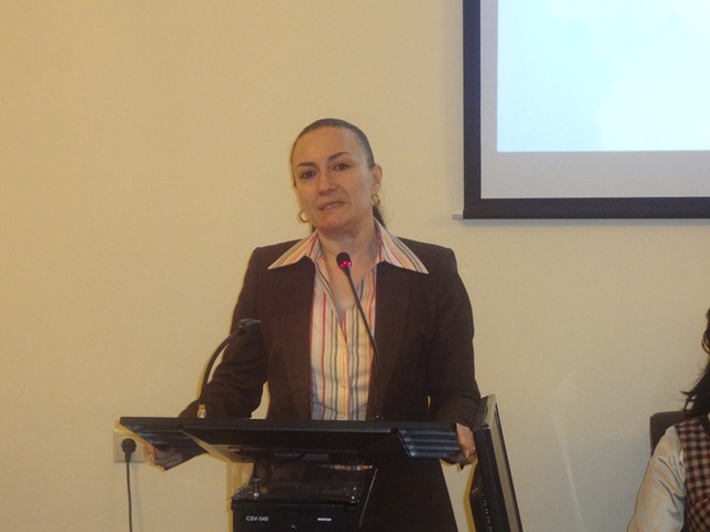
Srbuhi Gevorgyan, Vice-Rector for Educational and Scientific Affairs, welcomed the participants and wished them successful work during the conference. She emphasized the importance of the conference and considered the training of various specialties to be a key component for the university’s further development.
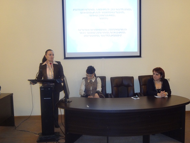
Speaking about the present-day educational system, the Dean of the Faculty of Biology, Chemistry and Geography, Svetlana Hovakimyan, said, “No matter how much we focus on student-centered education and learning environment, the effectiveness of the educational process mostly depends on teachers and their professionalism.”
“The crossing point of the cooperation between students and teachers serves as a ground for applying information technologies. At the initiative of the Pedagogical University a most topical issue is put on scientific basis; the University raises the importance of using geographic information system (GIS) and underscores its crucial role in the development of geographic education,” said Gurgen Hovhannisyan, Associate Professor, Candidate of Geographical Sciences, Head of Baccalaureate Division, YSU.
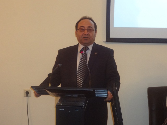
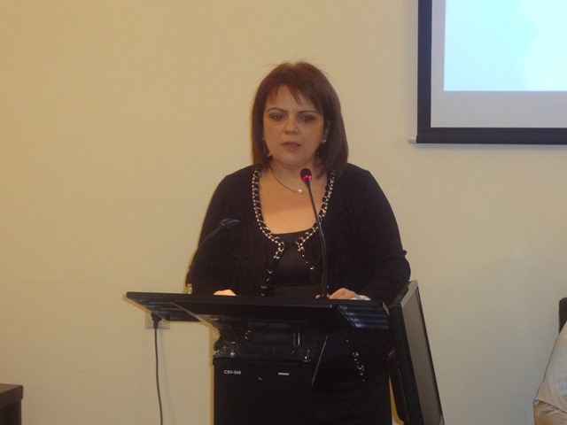
The conference started with the report of Ashot Ajamoghlyan, Head of the Chair of Socio-economic Geography and Methods of Teaching Geography, who dwelt on the role and significance of GIS in the development of geographic education. He recommended making geography more visible as a science with the help of cartographic materials and explained the process of practical classes with a photo slideshow.
Ashot Ajamoghlyan expressed his willingness to provide the University’s e-maps to teachers as a guideline to be used in practical classes.
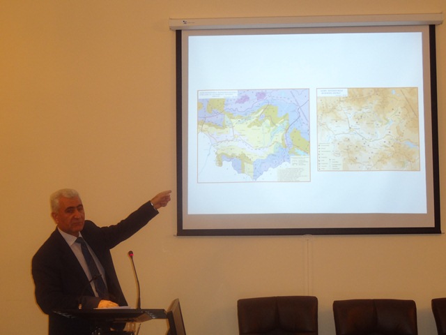
The next report was presented by Tigran Babayan, a cartographer at the Chair of Socio-economic Geography and Methods of Teaching Geography. He referred to the importance of presenting information on the map and spoke about cartographic system, signs and the way to work with them.
The two-day conference will continue its work on February 12.
The full package of electronic maps is available below;
.jpg)